

18 March 2026
Lymington Town Trail
Lymington Town Trail
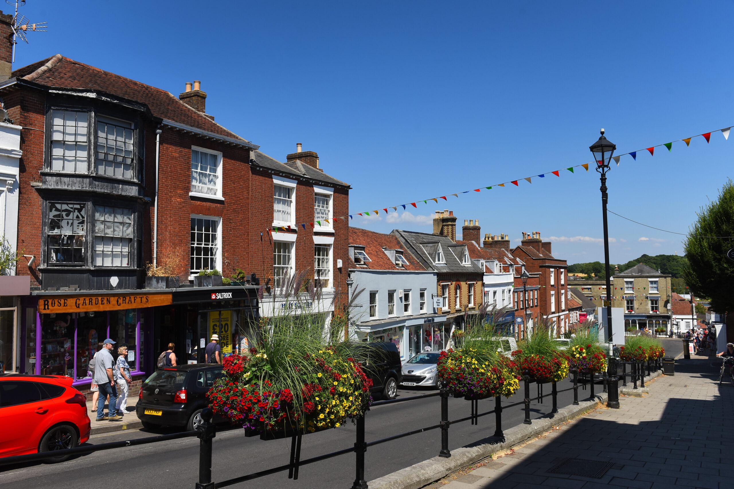
A shorter walk packed full of local history. Visit St Barbe museum, the modern day quay and the bustling high street.
See yachts moored in the harbour, the sea water baths and fine coastal views. The Isle of Wight is accessible from Lymington with a ferry to Yarmouth. Sailing has a rich history in this seaside town which continues today with events such as the Royal Lymington Cup. There’s plenty to keep you interested and entertained in this thriving market town.
Easy
Lymington Town Trail
Route
Walk
Length
2 miles
Duration
1 hour
Walk details
Start/finish
Lymington Town Railway Station, SO41 9AU
Ordnance survey map
Explorer OL 22 New Forest
Getting there
Take the train from Brockenhurst to Lymington Town
Distance
2 miles (3.2 km)
Duration
1-2 hours
Local facilities
Public toilets in Lymington, near St Barbe Museum. Train and bus transport to start of walk
Accessiblity
Easy walk along level ground
Points of interest
Select the points on the map to discover highlights along the route, including scenic views, wildlife spots, and places of local interest.
Directions
Head out of the train station and turn left along Mill lane, passing by Britannia House on your right. At the end of mill lane turn right and follow the narrow back street through to the historic quay side area of Lymington.
Head down the cobbled streets past restaurants and shops onto Quay Road. If you are driving then this is start of your walk. Keep the harbour on your left and walk south down onto Bath Lane and past the large marine broker warehouses.
Bath road opens out as you reach the recreation grounds. Walk past the recreation grounds following the road round onto Kings Saltern Road. Pass by The Mayflower Pub on your left and head down the little lane (avoiding Stanley Road which bears round to the right).
Stroll down this leafy lane passing the Sea Scouts building and the Chandlers Yard further down. Keep following Kings Saltern Road as it bends back up towards Lymington, crossing Stanley Road and going straight ahead onto Brook Road.
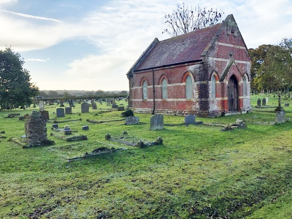
The road forks after a short walk. Take the lefthand fork onto Waterford Lane and head up through leafy suburbs onto Church Lane. Turn right onto Church lane passing through old Lymginton before arriving on the high street opposite the Church of Thomas the Apostle of Lymington.
Turn right onto Lymington High Street. There are plenty of shops, pubs, and restaurants to enjoy along the high street. Follow the street all the way downhill. At the bottom look out for the Kings Head Inn and the cobbled path down to the Quay Side.
Head down the cobbled street re-joining your previously walked route. The turning back to the train station is just before the bike hire shops so don’t miss it! The car park is straight ahead.
New Forest Code
The New Forest code is a unique place with rare wildlife and free-roaming livestock. Help us care for this special place by following the simple New Forest Code.
New Forest CodePrintable leaflet
You might also like
 Accessible
Lyndhurst Village
 Moderate
Stuckton Iron Works
 Easy
Easy
Rockford Common
 Easy
Easy
Frankenbury Hill Fort
Download our walking app
Our free walking app features points of interest and photographs.


Keep your distance from the animals and don't feed or pet them - you may be fined.
Keep your distance from the animals and don't feed or pet them - you may be fined.
Keep your distance from the animals and don't feed or pet them - you may be fined.
Keep your distance from the animals and don't feed or pet them - you may be fined.