

16 March 2026
Blashford Lakes
Blashford Lakes
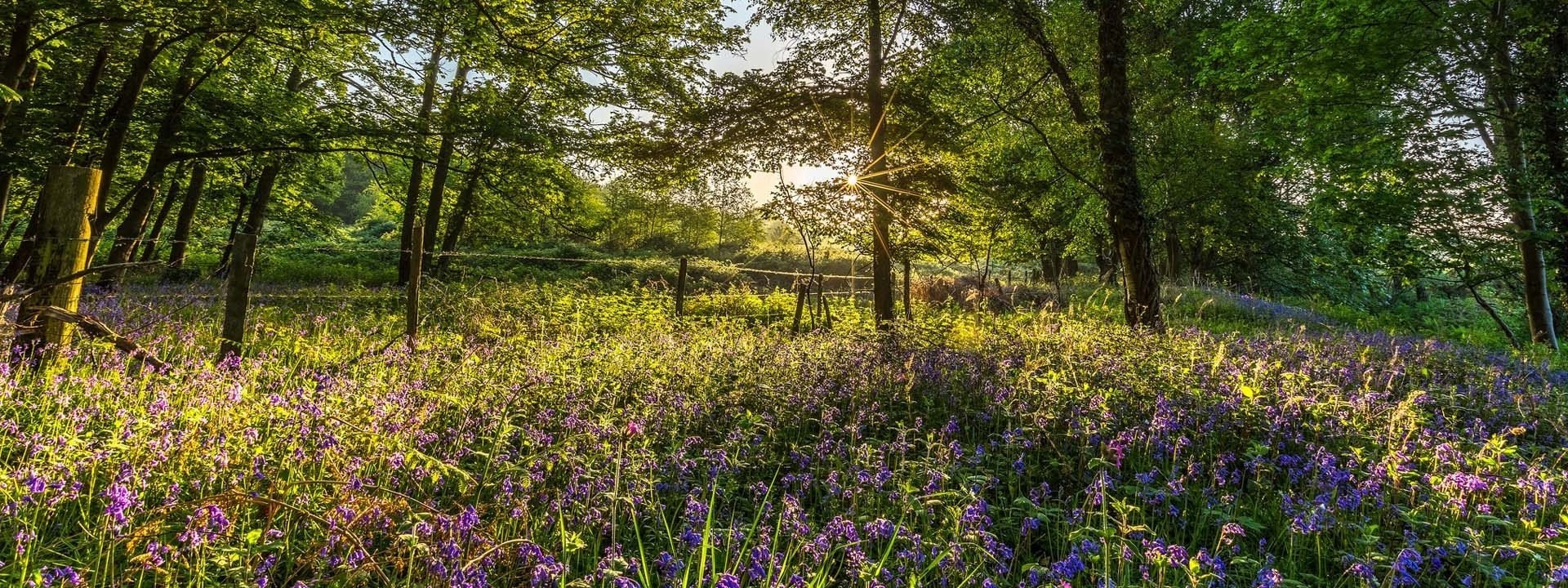
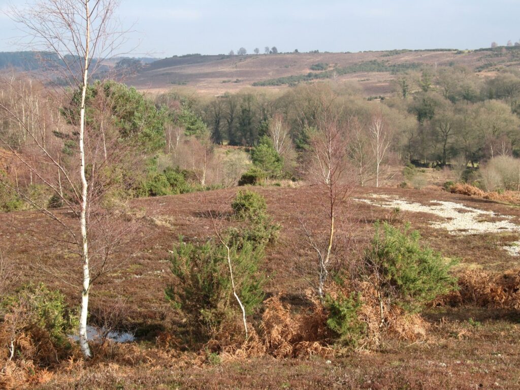
This walk explores the Blashford Lakes Nature Reserve which is a wonderful series of lakes that are full of wildlife and a great place for bird watching.
There are six bird hides around the reserve, linked by gravel paths, so there’s plenty of opportunity to spot Common terns, lapwings, oyster catchers and, if you are lucky, a murmuration of starlings. This is a nature reserve so only assistance dogs are allowed onsite. Two all-terrain mobility scooters are available to hire.
Accessible
Blashford Lakes
Route
Accessible Walk
Length
0.75 miles
Duration
0.5 hours
Walk details
Start/finish
Blashford Lakes Car Park. Grid reference SU 151 079, whats3words.com/exposing.venue.outfitter
Ordnance Survey map
Explorer OL 22 New Forest
Distance
1 mile (1.6 km) – 1 hour
Local facilities
The car park has two accessible bays, easy access toilets and a cafe
Accessibility
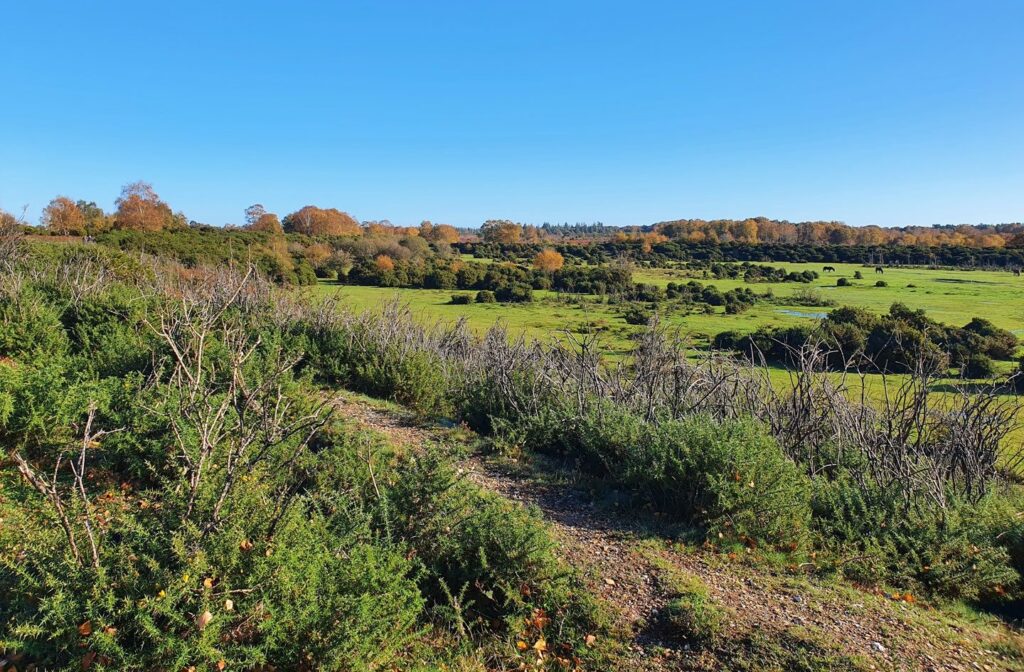
The trails are compacted gravel and can get muddy during winter months. All the hides have accessible ramps and space inside for a wheelchair or mobility scooter. The paths are suitable for a class three mobility scooter, two of which you can hire from the centre
Points of interest
Select the points on the map to discover highlights along the route, including scenic views, wildlife spots, and places of local interest.
Directions
Starting out from the car park, head up to the Education Centre and take a left, picking up the trail past the Welcome Hut. If open, the Welcome Hut is a fantastic starting point to pick up information about the Lakes.
Continue straight past the first left until you reach a signpost for a woodland hide. This short path takes you up to the first bird hide. Keep going to find the second, larger bird hide on the opposite side of the path.
Cross over a small, railed bridge to reach the boardwalk, passing over a long stretch of wetland. Back on solid ground the path splits. To the left, past a carved wooden owl, the path stops at wooden bench. To the right the path continues to a second bridge passing over a forest stream known as Dockens Water.
Turn right following signs for the shorter walk with Ellingham lake on your left. Leaving the lake, the track curves to the right comes to a wide bridge. Cross over Dockens Water one last time and you’ll find yourself at the road just before the entrance to the car park. Turn right and follow the car park back towards the Education Centre to finish the walk.

Printable leaflet
You might also like
 Accessible
Lyndhurst Village
 Moderate
Stuckton Iron Works
 Easy
Easy
Rockford Common
 Easy
Easy
Frankenbury Hill Fort
Download our walking app
Our free walking app features points of interest and photographs.


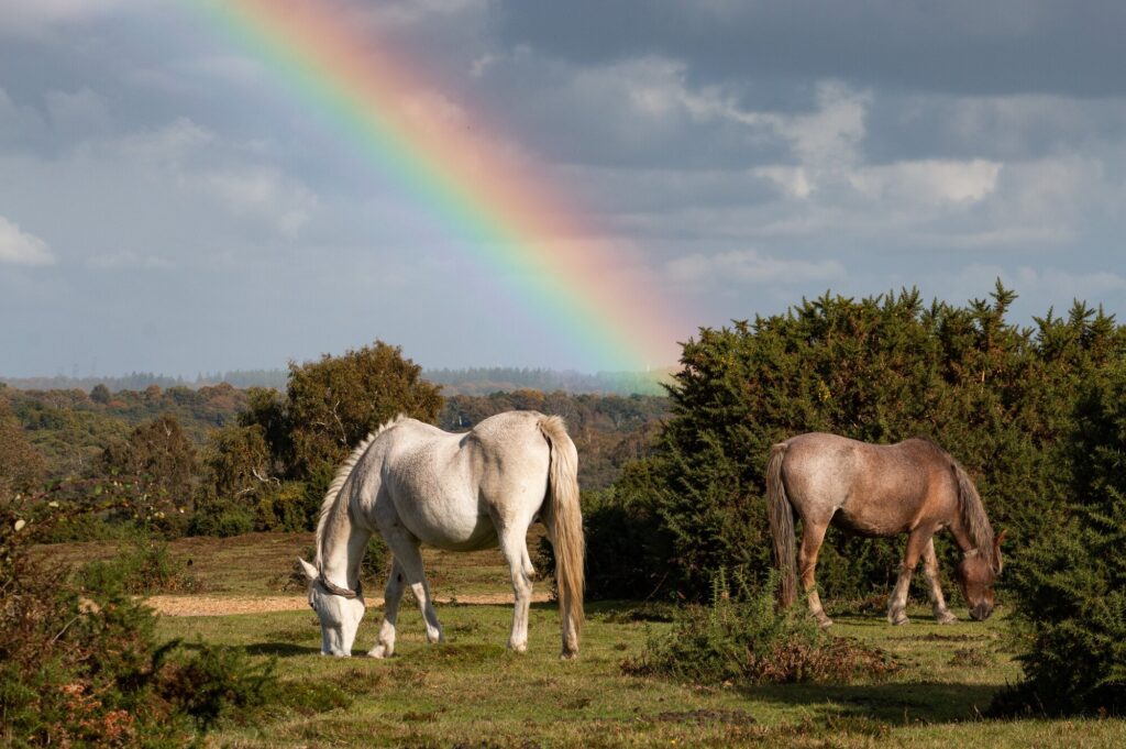
Keep your distance from the animals and don't feed or pet them - you may be fined.
Keep your distance from the animals and don't feed or pet them - you may be fined.
Keep your distance from the animals and don't feed or pet them - you may be fined.
Keep your distance from the animals and don't feed or pet them - you may be fined.