

Planning map
This page comes with a guide on how to use the map
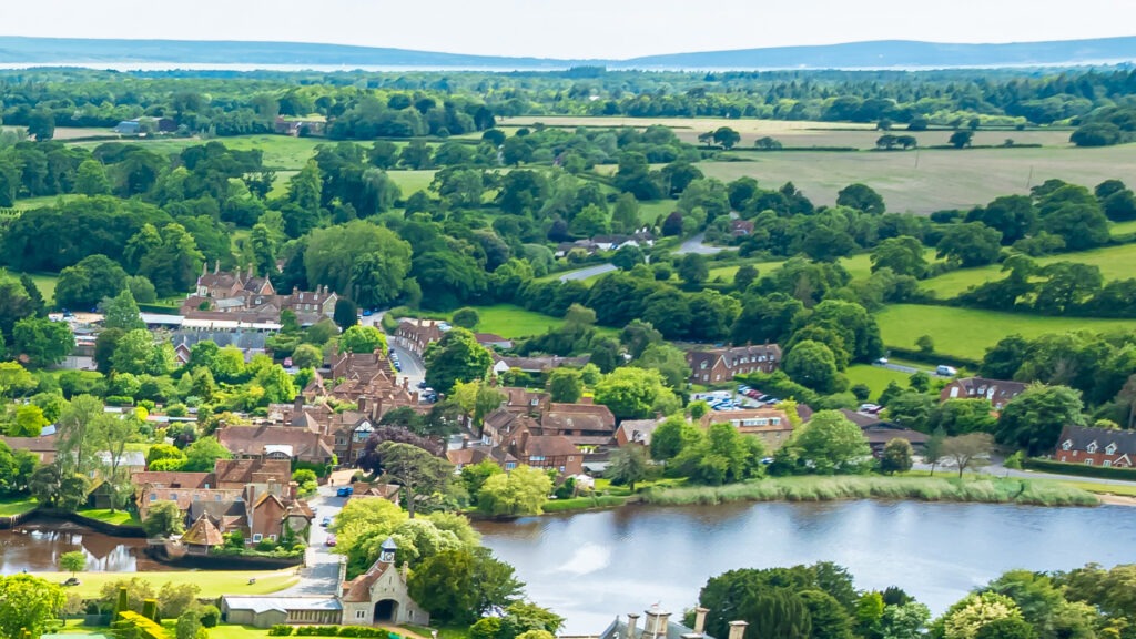
Go to map Go to mapBy balancing the needs of local communities with strong conservation principles, we help safeguard the National Park’s special qualities for future generations while supporting sustainable, well-designed development that fits its exceptional setting.
Some addresses fall under neighbouring planning authorities, even if they have a New Forest postcode. Use our postcode checker below to quickly confirm whether a property is in the National Park.
This page comes with a guide on how to use the map
Go to map Go to mapView or comment on an existing application
Learn more Learn moreTell us about a development you think may breach planning conditions
Learn more Learn moreHow our planning policies help protect the National Park
Find out more Find out moreProtected trees in the planning process
Find out more Find out moreWe support high standards of design in new development while retaining and enhancing the distinctive character of the natural and built environment
Find out more Find out moreWe advise on all aspects of the historic built environment, from listed buildings to conservation areas
Find out more Find out moreSee all our commonly asked planning questions - in one place
Find out more Find out moreFind out more about how our planning decisions are made
Learn more Learn moreHow to contact the Planning team
Contact Planning Contact PlanningKeep your distance from the animals and don't feed or pet them - you may be fined.
Keep your distance from the animals and don't feed or pet them - you may be fined.
Keep your distance from the animals and don't feed or pet them - you may be fined.
Keep your distance from the animals and don't feed or pet them - you may be fined.