

16 March 2026

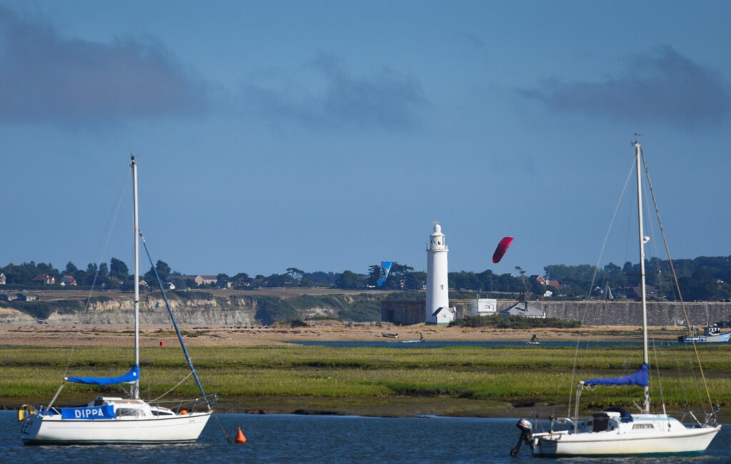
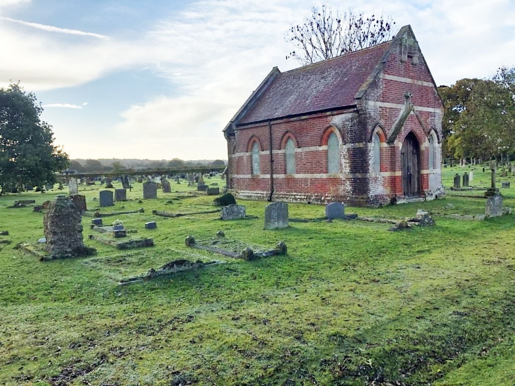
Keyhaven Harbour
Keyhaven Harbour
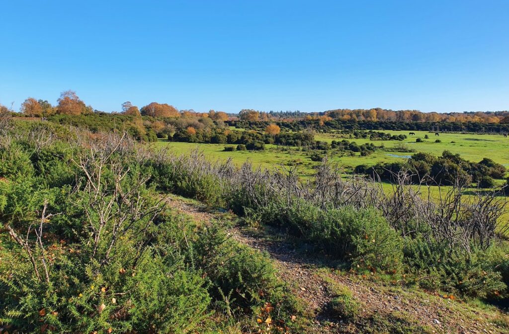
This route follows the path alongside Keyhaven Marshes, a nationally important habitat for a wide range of plants and animals.
This coast walk starts from the historic Keyhaven harbour, used by small boats since at least 1206 when it was used for transporting cattle and sheep from the Isle of Wight to the water meadows on the mainland. A series of docks and canals amongst the lagoons enabled barges to import coal for the boiling houses and to export the salt.
Accessible
Keyhaven Harbour
Route
Accessible Walk
Length
3.5 miles
Duration
1.5 hours
Walk details
Start/finish
Keyhaven Amenity Car Park. Grid reference SZ 306 914 what3words.com/tenure.mimes.paraded
Ordnance survey map
Explorer OL 22 New Forest
Distance
5 miles (2.6 km) – 1-2 hours
Local facilities
The car park has four accessible bays, easy access toilets and a pub
Acessibility
The paths on this route are a mix of quiet roads and gravel paths, which can be uneven in places. There is one gate at the start of the gravel track
Points of interest
Select the points on the map to discover highlights along the route, including scenic views, wildlife spots, and places of local interest.
Directions
Exit Keyhaven Amenity car park and turn right to briefly follow Keyhaven Road, passing the Gun Inn on your left. Take the first right down Lower Pennington Lane to cross the mouth of Avon Water. Turn right onto a gravel path and go through the gate out onto the gravel path.
Continue along the sea wall from which there are good views of the Isle of Wight and the Needles, the site of many a wrecked ship. On your left is Fishtail Lagoon with a large bird nesting island in the middle. At the end of this lagoon there is a path leading off to your left down steps following alongside a wide-cut channel. Ignore this path and continue following the path ahead which bends to your right.
Eventually you will come to the jetty on your right, a good place to rest and admire the views over The Solent. To complete the route, retrace your steps back to the car park.
Keyhaven
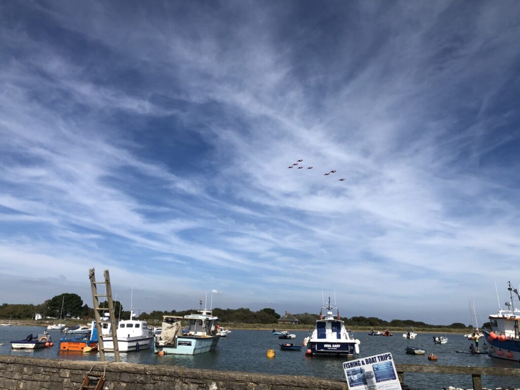
Red arrows at Keyhaven
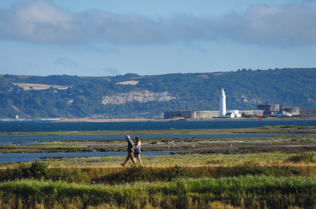
Walkers in Keyhaven
1 - 3
The New Forest Code
The New Forest code is a unique place with rare wildlife and free-roaming livestock. Help us care for this special place by following the simple New Forest Code.
New Forest CodePrintable leaflet
You might also like
 Accessible
Lyndhurst Village
 Moderate
Stuckton Iron Works
 Easy
Easy
Rockford Common
 Easy
Easy
Frankenbury Hill Fort
Download our walking app
Our free walking app features points of interest and photographs.


Keep your distance from the animals and don't feed or pet them - you may be fined.
Keep your distance from the animals and don't feed or pet them - you may be fined.
Keep your distance from the animals and don't feed or pet them - you may be fined.
Keep your distance from the animals and don't feed or pet them - you may be fined.