

19 March 2026
Radnor Trail
Radnor Trail
Head deep into ancient and ornamental woodland.
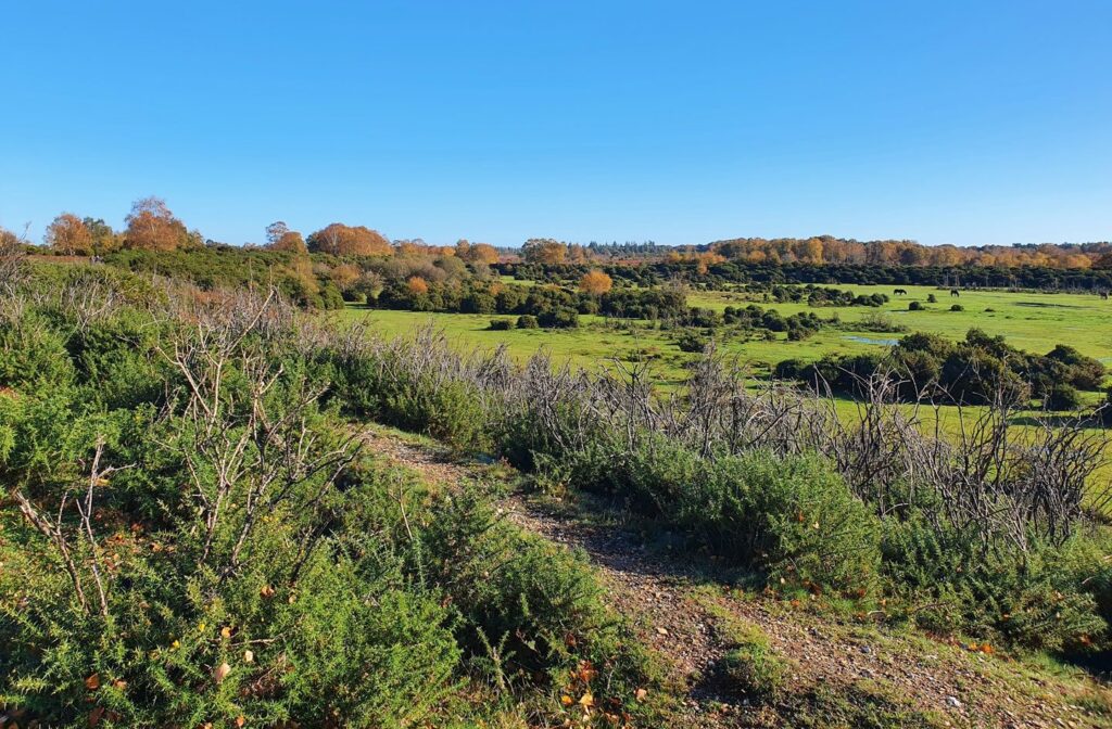
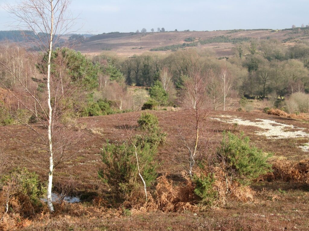
Once past the Radnor Stone, this trail passes through sweet chestnut, oak and beech dating from the 1860s. It then skirts the fenced boundary of Mark Ash Wood, an ancient and ornamental woodland, where you can see pollarded beech trees. Bratley Water, flowing south to join the Blackwater, a tributary of the Lymington River, is an ideal spot to rest and have your picnic. Here you will find stands of Norway spruce planted in the 20th century which are thriving in the moist valley bottom. The trail finally leads you past the deer viewing platform where you can often see a herd of fallow deer.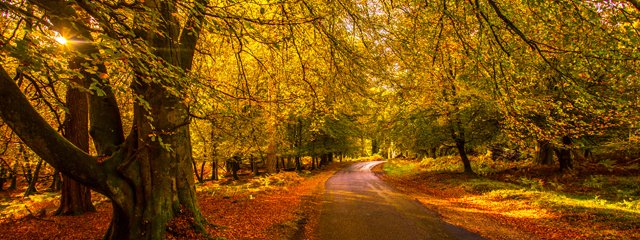 Moderate
Radnor Trail
Route
Walk
Length
2.0 miles
Duration
1 hour
Walk detail
Start/finish
Bolderwood car park, grid ref SU 243 086 (no postcode)
Ordnance survey map
Explorer OL 22 New Forest
Getting there
No public transport links, parking at Bolderwood car park
Distance
1.9 miles (3.1km)
Duration
Under 1 hour
Local facilities
Bolderwood car park has toilets, picnic tables and an information unit open during the school holidays
Accessibility
The path is a moderately smooth gravelled surface, with two short but fairly steep slopes, and frequent resting places. The trail contains gates, situated on both sides of the roads where walkers cross
Points of interest
Select the points on the map to discover highlights along the route, including scenic views, wildlife spots, and places of local interest.
Directions
Upon arriving at Bolderwood head to the top end of the car park to the information point and picnic tables. Through a small gate is the trail heads for each of the three walks available here at Bolderwood; The Deer Watch Trail, The Jubilee Grove Trail and the Radnor Trail.
We’re following the Radnor Trail which is the red marked waymark posts. Head down the trail looking out for the blue ring on the waymarker posts. All the trails are circular and lead back to the car park.

Pritnable leaflet
You might also like
 Accessible
Lyndhurst Village
 Moderate
Stuckton Iron Works
 Easy
Easy
Rockford Common
 Easy
Easy
Frankenbury Hill Fort
Download our walking app
Our free walking app features points of interest and photographs.


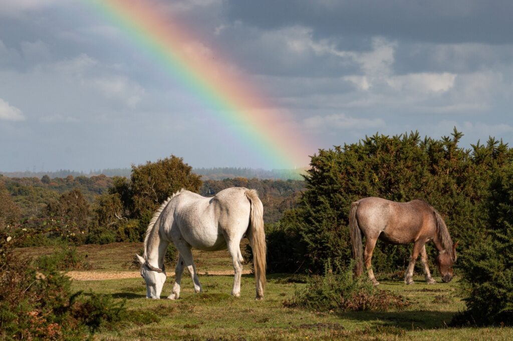
Keep your distance from the animals and don't feed or pet them - you may be fined.
Keep your distance from the animals and don't feed or pet them - you may be fined.
Keep your distance from the animals and don't feed or pet them - you may be fined.
Keep your distance from the animals and don't feed or pet them - you may be fined.